Australia has just shivered through its coldest night of 2024 to date with a low of –9°C at Thredbo Top Station, but perhaps the most remarkable minimums were recorded not down south, but in Queensland.
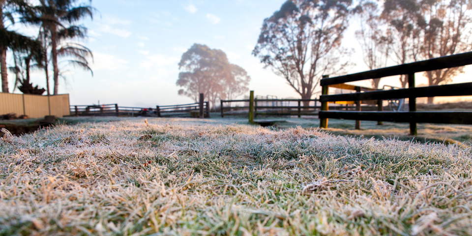
Frost would surely have been coating the ground in the tropics earlier this Tuesday morning, with temperatures of 0°C or lower recorded at weather stations located north of the Tropic of Capricorn.
Several weather stations in southern Queensland also had their coldest night of the year by a considerable margin. Some of the observations of note included:
Clermont Airport (north of the Tropic of Capricorn): minimum –0.8°C, which was the coldest night in almost two years for the town in the Central the Highlands-Coalfields forecast district.
Williamson Airfield (north of Rockhampton and also in the tropics): minimum of 0°C which was 12 degrees below average for June, and very cold for a location so far north and also very close to the sea.
Biloela (just south of The Tropic of Capricorn): minimum of –3.4°C which was its coldest night in 20 years, and the coldest for June in 42 years.
Roma (Maranoa and Warrego forecast district): minimum of –3.5°C. This was the town’s lowest temp in nearly two years.
Tambo (Central West forecast district): The tiny outback town of 200 residents dropped to a minimum of –5.6°C which was Queensland’s coldest temperature of the year to date.
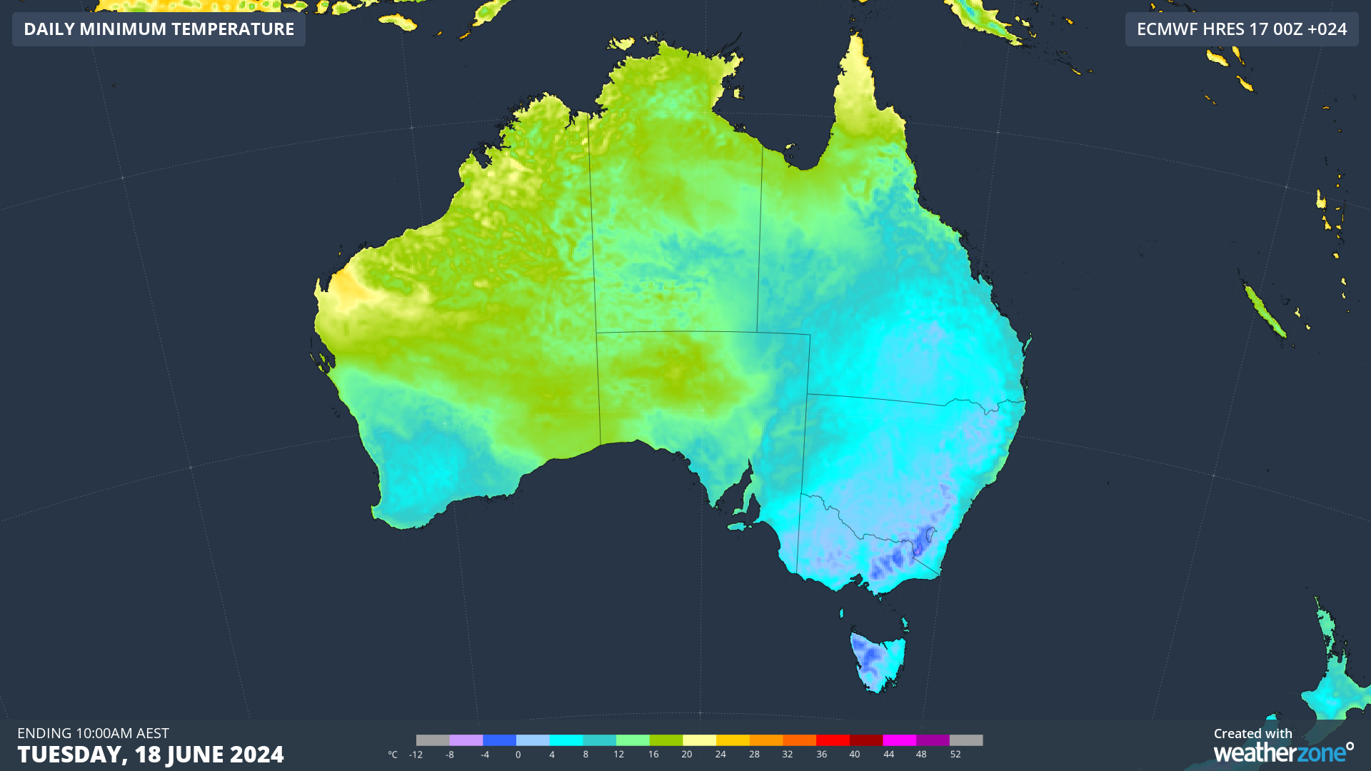
The chart below shows the temperature gradient for Australia on Tuesday morning. Blue means cool, and that blue zone is extending significantly further north than usual.
As Weatherzone meteorologist Ben Domensino wrote on Monday morning, the cause of the plummeting overnight temps across so much of eastern Australia is a lingering cold airmass combined with clear skies and relatively light winds.
Those conditions have continued into Tuesday morning and apart from freezing temps up north, there were plenty of cold nights in locations where you’d expect to see them. For example:
- Canberra had a low –4.2°C, its coldest night of winter to date (but not the coldest night recorded thus far in 2024, which was a –4.9°C in late May.
- Tasmania got down to –6.5°C at Liawenee on the Central Plateau.
- There were frosty nights across Victoria, with temps nearing –6°C in the Victorian Alps, but the one that caught our eye was the frigid –3.9°C at Coldstream on Melbourne’s northeastern outskirts.
- The city of Melbourne got down to 3.6°C and Melbourne Airport dropped to 1.5°C, which made it the coldest night of the year to date at both stations.
Expect another super cold morning on Wednesday right across eastern Australia before overnight temps start to moderate a little as a cold front and associated low pressure system introduces wind and moisture into the meteorological mix.
Weatherzone Business has grown to become the outright leader within the Australian energy market, serving wind, solar, hydro, trading, utilities and network companies.
You can’t control the weather, but you can gain precision insights to optimise your response. What lights us up is providing your energy business with tailored weather information to reduce your risk and keep you moving ahead of the curve.
Our services cover all aspects – from wind and solar generation to demand forecasts, wholesale markets to retail so, no matter where your company sits, we have solutions for you. We have worked closely with market participants to create products that meet the evolving needs of the sector, aiming to increase safety and profitability for our customers.
Benefit from the timely delivery of accurate weather information, allowing informed and effective decision-making. For more information please contact us at apac.sales@dtn.com.


