
Soaring temperatures and abundantly clear skies have just caused one of the warmest and driest Marches on record in parts of South Australia.
Abnormally high pressure near southern Australia this month has kept rain-bearing systems away from SA, leading to plenty of warm and dry weather across the state.
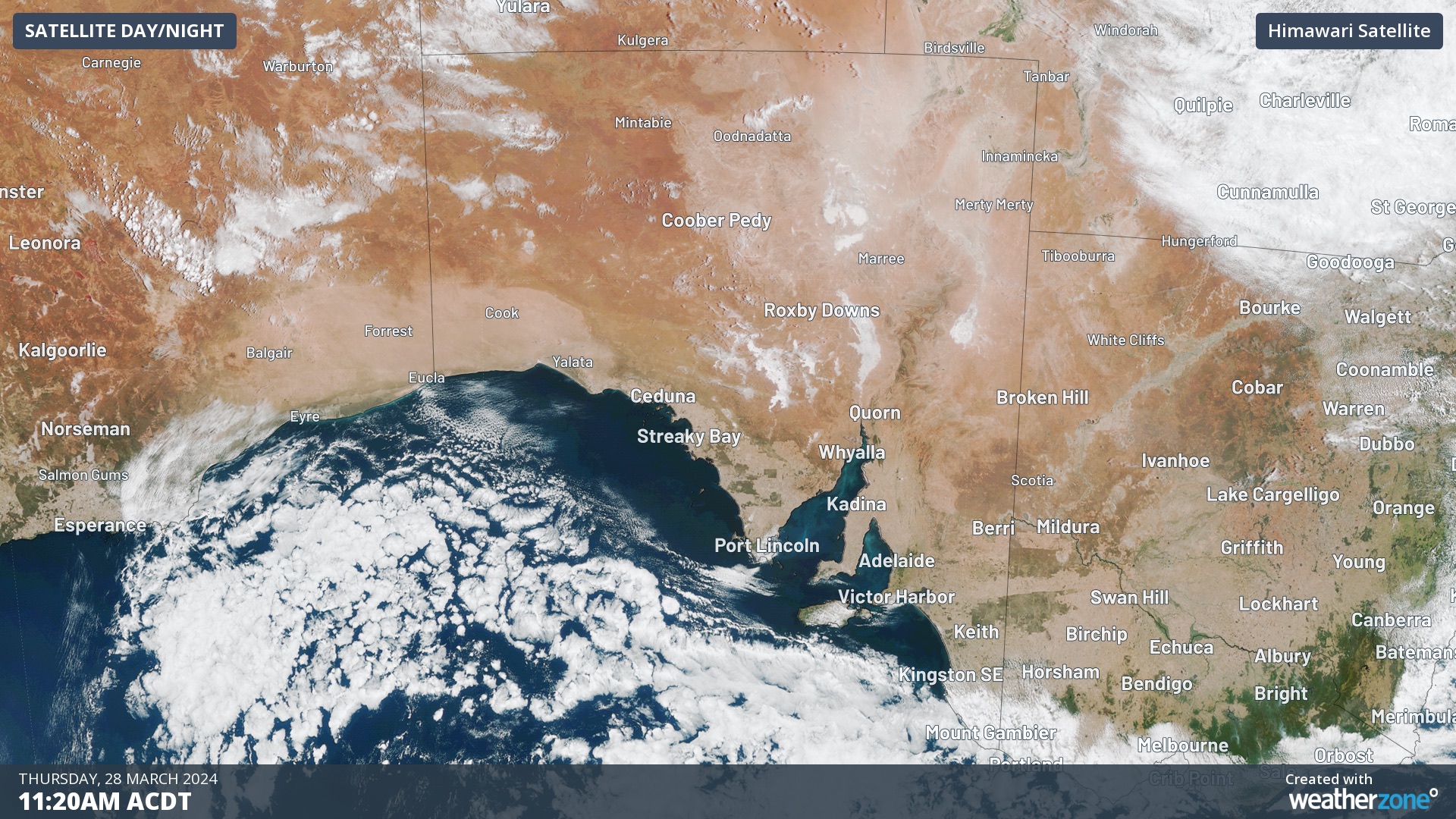
Image: Clear skies over SA on March 28. This was a familiar sight during March 2024.
In the northern pastoral districts, daytime maximum temperatures have averaged around 35 to 37°C at Maree, Oodnadatta, Moomba and Coober Pedy.
While temperatures have been lower further south, Adelaide’s running average maximum of just over 29°C so far this month is about 3°C above the long-term average.
Based on observations up to 9am on March 28 and forecasts for the remainder of the month, parts of SA are on track to register one of their hottest Marches on record.
Oodnadatta’s mean maximum temperature should come in somewhere around 36.9°C at the end of the month, which would be its second hottest March on record behind 38.3°C from 1986. Data at Oodnadatta dates back to 1940.
Coober Pedy’s average maximum temperature for the month should end up around 35.5°C, which would be its 3rd hottest March behind 1986 (36.6°C) and 1978 (36.2°C).
In addition to this month’s near-record heat, the state’s rain gauges have seen little rainfall over the last few weeks.
Adelaide has only picked up 3 mm of rain so far this month and doesn’t look like it will see any precipitation before the end of March. It’s been 9 years since March was this dry in the state capital. Further north, Clare’s running monthly total of 0.4 mm is its lowest in 30 years.
Looking ahead, a burst of rain and thunderstorms will soak the state’s north in the final days of March as tropical moisture drifts south along a low pressure trough. There is a chance that some of this moisture will also deliver rain over the state’s south in the first few days of April, although this is not locked in at this stage.
You can’t control the weather, but you can gain precision insights to optimise your response. What lights us up is providing your energy business with tailored weather information to reduce your risk and keep you moving ahead of the curve.
Our services cover all aspects – from wind and solar generation to demand forecasts, wholesale markets to retail so, no matter where your company sits, we have solutions for you. We have worked closely with market participants to create products that meet the evolving needs of the sector, aiming to increase safety and profitability for our customers.
Benefit from the timely delivery of accurate weather information, allowing informed and effective decision-making. For more information, please contact us at apac.sales@dtn.com.


