
Prosper in a dynamic world
Search

Brisbane’s coldest pair of days in 66 years


Blanketing cloud cover and persistent rain sent shivers across large areas of Queensland over the last 48 hours, with Brisbane enduring its coldest pair of days since 1956.

The sequence of satellite images below shows a large cloud band slowly passing over central and southeast QLD during the last two days.

Daytime temperatures on Monday and Tuesday were very cold by QLD standards beneath this deck of thick cloud. Maximums stayed about 8 to 12ºC below the July average in large areas of central and southeast QLD, with some places experiencing their coldest weather in more than half a century.

Brisbane’s official maximum temperatures on Monday and Tuesday were 14.4ºC and 14.0ºC respectively, making Tuesday the city’s coldest day in nine years. These maximums are both well below the city’s long-term July average of 22ºC. It was also Brisbane’s first pair of days below 15ºC since 1956.
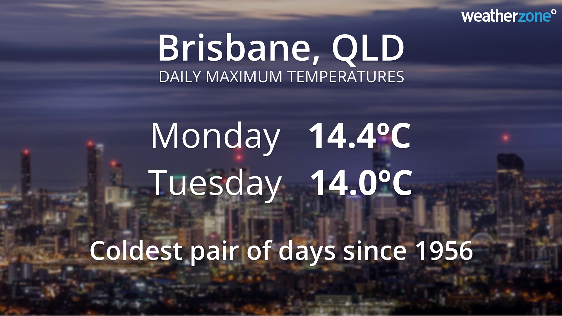
The cold weather of the last two days was widespread across QLD, with Townsville (15.1ºC), Bundaberg (12ºC) and Gympie (13C) all registering their coldest day in 15 to 17 years this week.
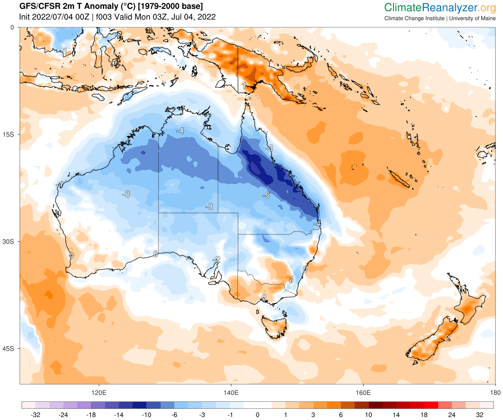
Image: Modelled air temperature anomalies over Australia on Monday afternoon, July 4, showing well below-average temperatures across much of Queensland. Source: ClimateReanalyzer.org

Fortunately for those Queenslanders that don’t like this week’s wintry chill, sunnier and warmer weather will return over the next few days as the cloud band moves out across the Coral Sea. For more information on our temperature and energy forecasts, please contact us at apac.sales@dtn.com.


Latest news

Satisfy your weather obsession with these news headlines from around the nation, and the world.

A huge week of wind for the NEM- why some of it may not make the grid

The National Electricity Market (NEM) is bracing for one of its most active wind weeks of the year, with two powerful cold fronts bringing wind gusts which could force wind farms into cutouts at times.  The first vigorous cold front is set to sweep across southeastern Australia late this week into early next, with another powerful front following closely behind during the middle of […]

NSW hydro turns a corner as the season’s biggest snow event closes in

NSW hydropower generation is climbing again after a soft beginning to the year, ahead of the biggest snowfall event this season with the potential for more than half a metre of snow forecast from late this week.   A strong cold front with a freezing airmass is set to sweep across southeastern Australia late this week into next week, likely […]

‘Very strong’ El Niño threshold crossed for first time in over a decade- here’s what it means for APAC business

The tropical Pacific Ocean has rapidly warmed to a ‘very strong’ El Niño threshold for the first time in more than 10 years, a milestone that puts extreme heat, water stress and higher energy demand squarely on the radar for businesses across Australia  and Southeast Asia in the upcoming seasons. El Niño was declared by […]

A positive IOD may be developing – What it means for Australia’s energy, insurance, fire and mining sectors

One of Australia’s main climate drivers, the Indian Ocean Dipole (IOD), may be shifting into a phase that could impact the energy market, fire and emergency services, and mining operators in the late winter and spring. What is the Indian Ocean Dipole? Australia’s weather is shaped by the seasons – cooler winters, warmer summers, and […]

