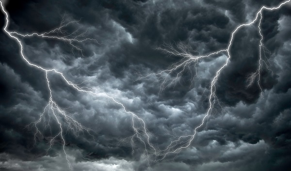
Thunderstorms are one of the most dangerous weather phenomena, which can occur at any time of the year in Australia.
Lightning is random and can strike at any moment during a thunderstorm, posing a significant threat to mine sites. Mining trucks and vehicles in open areas may even attract lightning, whether they are stationary or not.
If lightning were to strike a truck or vehicle, this may cause pyrolysis within the tyres. Pyrolysis is caused when the lightning strike heats the tyre rubber and releases volatile gas and organic compounds into the air section of the tyre.
The combination of the air and gases can become explosive and ignite under specific temperature, pressure, and concentrations.
Explosive events can lift the vehicle and propel debris more than a hundred metres, sometimes hours later. The explosion can be fatal for those near or inside the vehicle.
A shock wave known as thunder may also be generated due to rapid heating and cooling of surrounding air.
During a lightning strike the arc temperature can rise to 30,000°C and if the pressure exceeds 635 kPa, the shock wave can be lethal for those nearby.
A lightning strike on a moving vehicle may introduce other hazards to workers. They can cause fires, result in loss of braking or steering and the flammable material can burn staff.
While remaining in the vehicle during a thunderstorm is considered safer than being outside in the open. Unfortunately, these vehicles, including those with heavy tyres, are not designed to protect occupants from the potential effects of a lightning strike.
However, the side of the vehicle, happens to be the exit to the cabin, is an extremely dangerous place to be after pyrolysis. It has been reported that a solid wheel flange which weighs 250kg was flung at least 200 metres from the side of the vehicle.
For this reason, mine sites use park up methods, where another vehicle parks its nose behind the rear of the unsafe vehicle. This allows the occupant to safely leave the dangerous vehicle via the front or back, rather than the dangerous sides of the vehicle.
Weatherzone works with many mine sites around Australia to ensure the safety of personnel. Weatherzone Lightning Detection and Alerting Service will provide site specific alerts based on mine sites Trigger Action Response Plans (TARPS) and lightning thresholds.
In response, a decisive action is taken to ensure safety during severe weather. For more information, please contact us at apac.sales@dtn.com.


