A tongue of cool water sitting near the NSW coast shrouded parts of Sydney and the Central Coast with thick sea fog on Friday morning.
The images below were captured at Dee Why and Manly as a dense sea fog descended on Sydney’s Northern Beaches early on Friday.

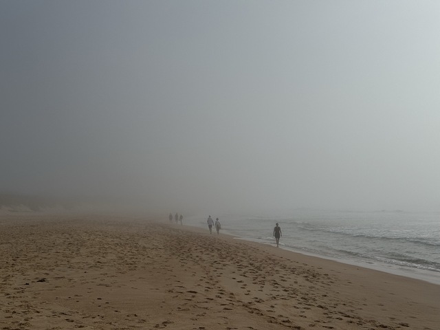
Image: Sea fog at Dee Why Beach on Friday morning, captured at around 8am AEDT. Source: Felix Levesque
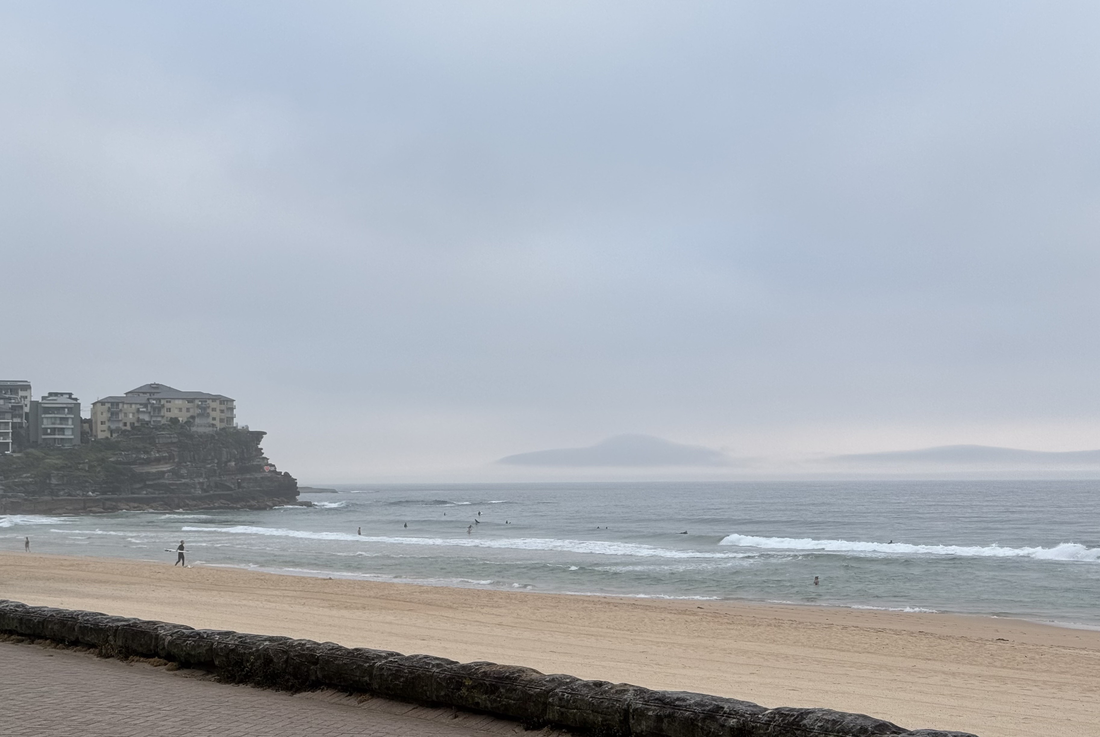
Image: Sea fog sitting offshore near Manly Beach on Friday morning, captured at around 6am AEDT. Source: Felix Levesque
There were also similar scenes on the Central Coast to the north of Sydney as the sea fog enveloped a broad stretch of the state’s central coastline.
Friday morning’s fog, which followed a similarly grey morning in eastern NSW last Saturday, was caused by a combination of warm and moisture-laden air flowing over abnormally cool water.
When air carrying sufficient moisture flows over relatively cool water, the layer of air sitting above the water cools, which can allow water vapour in the air to condense into small droplets of water, causing fog. Friday morning’s fog was caused by warm and moist air flowing over a tongue of abnormally cool water sitting near the NSW coast. Because these visibility hazards can develop rapidly, staying informed via specialised marine weather services is essential for ensuring the safety of shipping and coastal transit.

Image: Sea surface temperature at 5am AEDT on December 2, 2024, showing a tongue of water around 17-19°C near the NSW coast, with warmer water offshore. Source: IMOS
The strip if cold water near the NSW coast was caused by upwelling, a phenomenon which occurs when cool water rises to the surface of the ocean. In this case, the upwelling has occurred in response to a recent spell of northeasterly winds that have pushed surface water away from the coast in recent weeks, allowing cooler water to rise to the surface.
The presence of this cold tongue of water will increase the likelihood of more sea fog near the NSW coast in at least the first half of December. Anyone venturing to the beach for a dip might also notice that the water feels colder than usual for this time of year.
DTN APAC delivers a proven aviation weather briefing system, developed in collaboration with the industry, to keep your enterprise performing at peak efficiency.
We meticulously tailor actionable weather intelligence to suit the scope of your company’s work, on the ground and in the air. Accurate and comprehensive international data informs your daily decisions on safety, fuel loads and staffing.
Working alongside our global network of partners and suppliers we collate the data to give you full situational awareness of both en route and port specific conditions. Weatherzone is accredited and adheres to standards for aviation meteorology set by the World Meteorological Organisation (WMO) and the International Civil Aviation Organisation (ICAO). Registered with the ICAO and providing safety critical OPTMET data with permission from Air Services Australia, our aviation services meet the industry’s stringent requirements.
This is weather intelligence delivered in an easy to visualise format. No matter what the weather has in store, we give you clear foresight to make informed decisions. For more information please visit our website or email us at sales.apac@dtn.com.


