It’s set to be a huge few days of wild spring weather across southeastern Australia, and Victoria is already copping it this Tuesday morning.
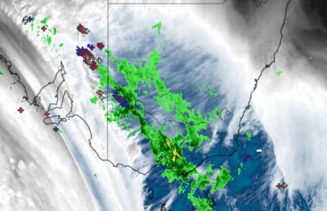
After Melbourne registered its driest September in 168 years of records with just 10.8 mm of rain, an extremely active loop of rain and storms sweeping across the state in a southeasterly direction from the northwest.
The large blobs of precipitation on the radar have already delivered 8.4 mm of rain to Melbourne in the period from 8:30 am to 11:00 am Tuesday, with the prospect of more solid falls in further bands of moisture throughout the day.
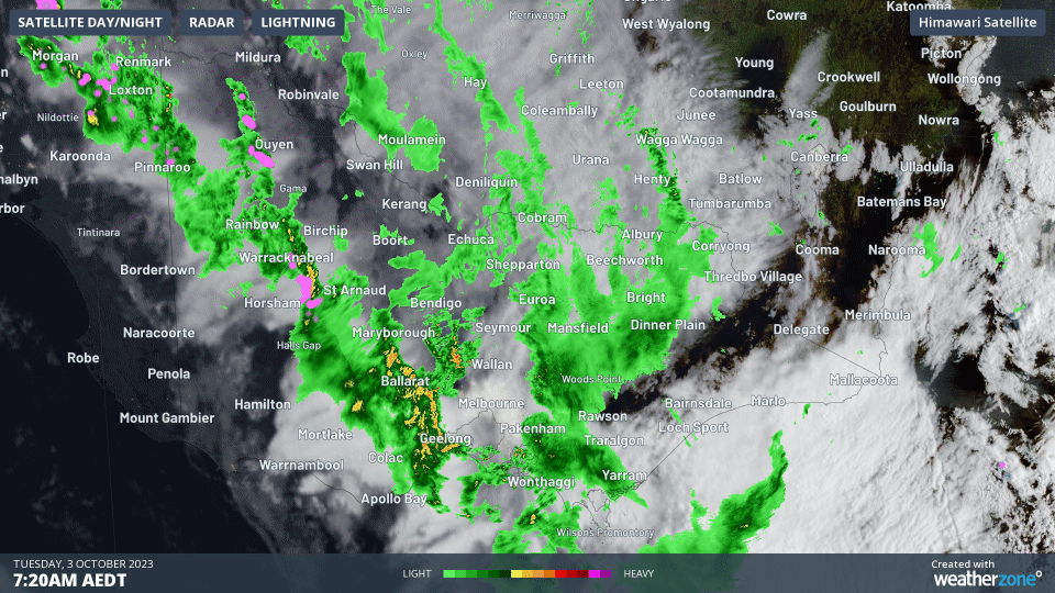
As you can see on the map below, several locations through western and northern parts of Victoria saw falls within the 10-30 mm range or even slightly higher overnight.
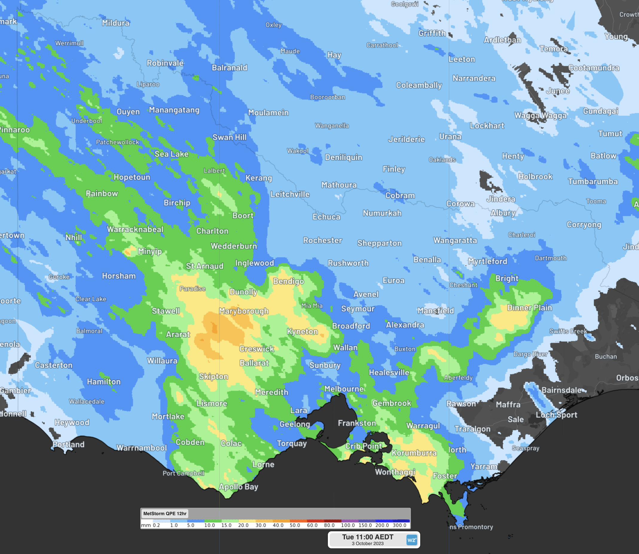
Mostly these weren’t huge falls, but they were highly significant in the context of the recent extremely dry trend. To cite just one example:
- Warracknabeal Airport, in western Victoria’s Wimmera region, received 12 mm of rain to 9 am, which just happens to be exactly its total rainfall for September this year!
The one piece of not-such-great-news with Tuesday morning’s Victorian rain is that virtually none has yet reached Gippsland, where unseasonably early bushfires are burning but the ranges east of Melbourne are to a large extent blocking the northwesterly moisture flow from reaching further east.
That will change from Tuesday evening onwards with heavy rain likely on Wednesday as a cold front arrives and winds swing to a more southerly aspect.
Parts of eastern Victoria could literally see severe fires and flooding rains within as little as 24 hours. We’ll keep you posted, and please keep checking our warnings page or our app.
Are you safeguarding your utilities assets and personnel from the threat of increasingly volatile weather?
DTN APAC, a DTN company, offers precise weather intelligence and alerting to protect your utilities network when severe weather, floods and fires threaten.
Over 80% of Australian transmission and distribution networks already rely on our proven nowcasting and forecasting out to 15 days. You can rest assured yours is protected by market-leading analysis. With this foresight you can gain lead time to prepare for possible outages, reduce risk and protect your people and profits.
You will never be left in the dark when conditions suddenly worsen. We deliver reliable, up-to-the-minute weather forecasts and analytical tools that give you the power to enhance your operational management and response to weather risk. Our Total Lightning Network is a globally proven solution that accurately identifies and alerts you to lightning strikes within your defined thresholds, supporting the safety of your team.
Your customisable interface has GIS mapping, showing multiple weather layers over your utilities network and offering full situational awareness. You can quickly recognise any threat to your assets in real-time. 24-hour asset monitoring allows you to track lightning, bushfires and other severe weather systems that approach your service territory.
Advanced and actionable analytics allow you to act decisively and improve your planning and outage response strategy. For more information, please contact us at apac.sales@dtn.com.


