

DTN APAC offers a comprehensive suite of services, refined through years of collaboration with the marine, ports and offshore industries, to optimise the safety and efficiency of your operations.
We work with you to understand your intrinsic operational challenges and customise high-precision forecasting, metocean and aviation services to your exact location and operational scope.
When working offshore, our solutions can underpin planning and safe execution for offshore oil and gas enterprises and wind farms. Our data can support your exploration, development, rig moving, shuttle tanker operations, and production and decommissioning phases. Whether your crews are on-site, being transported to shore, or diving to perform maintenance, we deliver tailored weather risk briefings to ensure you choose the optimal time to proceed.
DTN APAC’s trusted nowcasting and forecasting system, OpticastTM, allows you to rapidly respond to changing conditions offshore, en route and in port. We take your port topography and berth orientation into account, ensuring site-specific forecasts. For offshore oil & gas, wind farms, ports and logistics, we have your weather situational awareness covered, no matter where you are. We deliver real-time severe weather and lightning alerts to your team via your integrated dashboard: Portzone, and our Weatherguard app.
DTN APAC’s Total Lightning Network (TLN) ensures you avoid hours of unnecessary downtime by providing the most accurate technology in lightning detection and alerting. Safeguard your teams and assets with lighting and Dangerous Thunderstorm Alerts (DTAs), customised to your existing parameters and delivered in real-time across all devices in your network. You gain full spatial awareness of developing severe weather systems, allowing you to plan ahead and, where needed, execute your shutdown and evacuation procedures.
With extreme conditions slowing production and affecting infrastructure, safety and transport, trust us to deliver Australia’s most precise weather data and tailored insight, giving you decisive confidence when it’s most needed.


We have developed Portzone – an interface that is tailored to your site, operations and weather risk, and is currently operational at most major ports and offshore facilities in Australia. Portzone delivers relevant and verified data in easily visualised formats, with tools and insights enabling you to make critical decisions quickly. High definition and easily viewed on phone, tablet, PC and large screen.
Gain both the awareness of local wind systems that are undetectable on general forecasting models, and the accuracy of our Total Lighting Network detection to <200m, with integrated alerting. Optimise your response to incoming severe weather.
Validated forecasting and real-time metocean data improve your marine safety and minimise unnecessary downtime. Gain the best visibility of any conditions that could potentially impact your supply chain and operations.
Our operational forecasts give you the foresight to plan effectively. Our data supports the safe and efficient execution of exploration, development, rig moving, production and decommissioning phases of your offshore oil and gas or wind project.
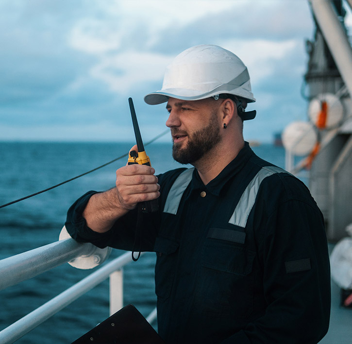
We thrive on challenge, next-generation science and customised service, and are dedicated to helping you stay ahead of the game.
Metocean Services
Our metocean services provide you with:
We customise to your exact requirements, and provide operation forecast summaries based on your marine infrastructure, both on and offshore.
Weatherguard App
Mobile access to areas of interest, forecasts, operational windows and alerting for severe weather and lightning is delivered via our Weatherguard App. Custom built to ensure the effective and timely communication of key data across your team, whether they are on-site, at sea or on shore.
We work to bring you complete situational awareness – offshore, in transit and in the air – so you can mitigate risk and maximise your productivity and profits.

Waters off Indonesia have cooled in recent weeks, an indication that a positive Indian Ocean Dipole (IOD) event could be developing. It’s an important climate driver for Australia, and it could shape rainfall and temperatures heading into summer, with flow-on effects for farmers, energy and other industries. What is the Indian Ocean Dipole? The IOD […]

Leonora, WA, had its wettest September day on record earlier this month. Three weeks later, more than 1.3 million lightning pulses were detected within 800 km of the town in 48 hours. Why is a stalled trough delivering storms to mining country, and what it could mean for operations? The DTN Total Lightning Network detected […]

A stubborn blocking high over southern Australia will make for a very quiet week for wind generation and the pattern behind it isn’t a one-off. It’s the seasonal signature of a super (very strong) El Niño combined with a positive Southern Annular Mode (SAM), and both the historical record and the current seasonal forecast suggest it’s likely to keep recurring through spring before a potential switch from November. The setup right […]

Australia’s Mining and Resources sectors are bracing for a wet season shaped by one of the most rapidly developing El Niño events on record. Looking back at how the strongest El Niño events in Australian history have played out, it becomes apparent that mining operations in Australia should be planning for a later monsoon […]
