The predicted winter warm spell has arrived in southeastern Australia, with 23°C on the cards for Adelaide this Monday, while Melbourne commences a four-day run of 20-degree weather.
August temps of 20°C or higher are far from unknown in Melbourne.
- While the city’s average August maximum is just 15°C, the highest August temp ever recorded was 26.5°C in 1982.
- But runs of 20-degree August weather lasting four days or longer are rare, with only six occurrences in the past (the record is five consecutive August days of 20°C or higher).
Melbourne is of course not the only city to be feeling unseasonable heat this week.

Monday’s synoptic chart reveals the two main features stories on Monday’s Weatherzone news feed.
- One feature is strong easterly stream bringing heavy rain to parts of the coastline of Queensland and central and northern NSW.
- The other feature is those warm northerly winds circulating anti-clockwise around that strong high pressure system centred over the Tasman Sea, dragging warm air from the interior of the continent southwards.
Adelaide is heading for 23°C today and had already topped 20°C as we published this story on Monday morning local time.
Hobart is heading for 18°C on Monday and 20°C on Tuesday.
Like Melbourne, 20°C in Hobart during August is not unknown, and is several degrees shy of the city’s August record of 24.5°C in 1977. But when you start talking about 20-degree August weather in Tasmania, you know you’re in the midst of a very warm spell for winter.
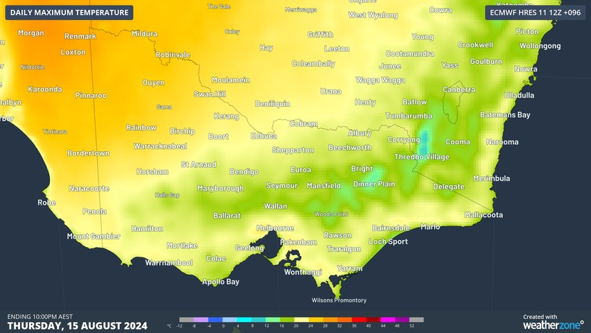
Even Canberra will get very close to the 20-degree mark later this week, with tops of 19°C expected on Thursday and Friday. Its August record was 24°C, also (like Melbourne’s) in the very warm winter of 1982.
By the weekend, cooler conditions will return to all of the areas mentioned as a cold front and associated low pressure system make their way east.
The front does not look particularly strong, so this won’t be a major polar outbreak. Nor does enough snow look likely to fall in alpine areas to repair the damage done by this week’s warm temps and possible pre-frontal rain.
There are, however, early indications that winter will return with more of a bite towards the end of next week, with cold showery weather and snow in the mountains. So if you don’t like chilly weather, enjoy this week’s warmth.
Weatherzone Business has grown to become the outright leader within the Australian energy market, serving wind, solar, hydro, trading, utilities and network companies.
You can’t control the weather, but you can gain precision insights to optimise your response. What lights us up is providing your energy business with tailored weather information to reduce your risk and keep you moving ahead of the curve.
Our services cover all aspects – from wind and solar generation to demand forecasts, wholesale markets to retail so, no matter where your company sits, we have solutions for you. We have worked closely with market participants to create products that meet the evolving needs of the sector, aiming to increase safety and profitability for our customers.
Benefit from the timely delivery of accurate weather information, allowing informed and effective decision-making.
To find out more visit our contact page or email us at apac.sales@dtn.com.


