

High-Resolution Modelling
Oracle is a satellite-derived, gridded nowcasting system. It forecasts out to 3 hours at a 1-2km resolution, and rapid updates every 5 minutes. With this enhanced forecasting detail, Oracle has the upper hand over 9-12km resolution models when capturing temperature, lightning, cloud cover, wind and rainfall. This ensures that no matter where you are in Australia, you will have access to precision nowcasting and forecasting that can rapidly inform your critical business decisions.
Greater Situational Awareness
Working in conjunction with DTN APAC’s Stormtracker GIS system, Oracle provides full situational awareness of any severe weather event that presents risk to your business. Short-term forecasting and severe weather alerts enable you to foresee the intensity and duration of events, so you can prioritise the safety and preparation of your staff and assets.
Whatever the weather, we provide the insights to help keep you and your team safe, productive and profitable.
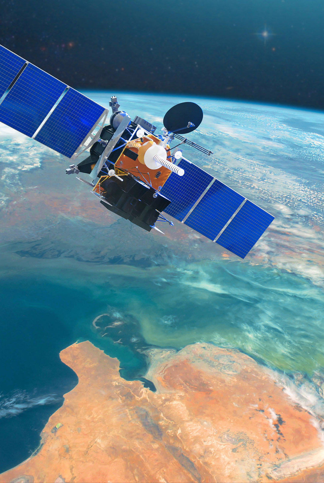
Oracle is the solution to visualising rainfall and severe weather across the whole of Australia. Let us give you the situational awareness and analytical insight needed to make the best decisions for your business.
Let us give you the analytical insight needed to make the best decisions for your business.
Oracle works beyond the existing radar system and extends across the most remote parts of Australia, so no matter where you are, you can see what’s on the horizon.
When extreme temperatures, severe weather and heavy rainfall affect your operations, Oracle delivers insight and alerts, buying you the time to prepare and take action.
Gain a visual understanding of current conditions. Oracle is the market-leading nowcasting system that facilitates making informed critical decisions quickly.
When a severe weather system is heading straight for you, our team of qualified meteorologists dissect the data around the clock to give you actionable solutions.
You don’t need to weather the storms alone. We can help you break down the timeline, so that you can approach your preparations in the most practical way, deciding on how best to manage the immediate risk.
DTN APAC’ experience and intelligence gives you a clear path through a complex situation. Let us assist you in making the best possible assessment of risk to your business when extreme weather threatens.

A stubborn blocking high over southern Australia will make for a very quiet week for wind generation and the pattern behind it isn’t a one-off. It’s the seasonal signature of a super (very strong) El Niño combined with a positive Southern Annular Mode (SAM), and both the historical record and the current seasonal forecast suggest it’s likely to keep recurring through spring before a potential switch from November. The setup right […]

Australia’s Mining and Resources sectors are bracing for a wet season shaped by one of the most rapidly developing El Niño events on record. Looking back at how the strongest El Niño events in Australian history have played out, it becomes apparent that mining operations in Australia should be planning for a later monsoon […]
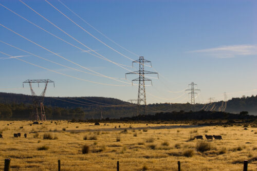
Australia just had its warmest winter on record across large parts of the country, and the mild weather produced the lowest gas output since 2004 and cut wholesale electricity prices nearly in half. Despite the unusually warm winter, demand hit a new NEM-wide winter record of 24,220 MW — but ample rooftop and grid solar meant the […]
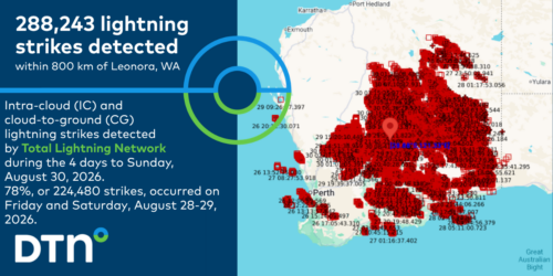
WA’s remote mining regions have been impacted by thunderstorm, lightning and heavy rainfall only detectable using remote sensing methods. Nearly 300,000 lightning strikes detected across WA DTN Total Lightning Network (TLN) detected over 288,000 lightning strikes above Western Australia between Wednesday and Sunday, August 26-30, 2026. A vast majority of this lightning was observed over […]
